Database for East Africa's Geospatial Information Launched - ENA English
Database for East Africa's Geospatial Information Launched
Addis Ababa, May 13/2021 (ENA) An open database that aimed to improve interpretation of earth observation data and accessed at national and regional levels launched today in Addis Ababa.
The Regional Center for Mapping of Resources for Development (RCMRD) together with Geospatial Information Institute of Ethiopia developed the open geographical regional database officially launched the database today during a two-day meeting.
The platform meant to promote data access and awareness as well as showcase products in the areas of land degradation and wetland monitoring and assessment, and database for water and agro-ecological zones.
The portal said to enable geospatial information users explore GIS data of Eastern African Countries including Ethiopia and promote sustainable management of natural resources through the use of the derived data and information.
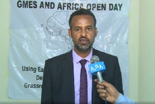
Launching the portal, Geospatial Information Institute of Ethiopia Director General, Tulu Besha said the portal is a platform that would help policy makers and planners get sufficient information to ensure sustained management of natural resources.
The database named RCMRD GMES & Africa Geo-portal is of paramount importance for experts to get geospatial information to conduct further researches to foster natural resource conservation and better land use management, he pointed out.
He noted that the institute, since its establishment in 1954, has been working in collaboration with all relevant stakeholders, regional and international partners to contribute to forest monitoring, climate change and conservation of natural resources.
Tulu lauded RCMRD for its support specifically in human resource development, application of remote sensing, geographic information system, global navigation satellite system, land governance and research activities.
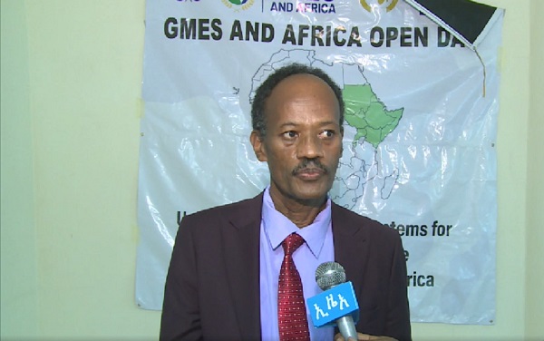
RCMRD User Engagement head, Kenneth Kasera on his part said the platform designed to address needs to manage the environment, mitigate climate change, and conservation of natural resources with respect to water, natural resources, marine and coastal areas.
The portal will help the continent to speed up the utilization of geospatial information for economic growth and sustainable development, and integrate Africans through sharing of such data, he pointed out.
RCMRD Senior Remote Sensing Officer, Degelo Sendabo also reiterated the importance of the platform that would enable to provide significant geospatial information to rehabilitate degraded lands and other precious natural resources.
It further reduce gaps between researchers and policy makers to work hand in hand on fostering rehabilitation and conservation of natural resources; mitigating climate change and ensuring socioeconomic development of ones country, he underscored.
GMES and Africa is a flagship program of African Union Commission (AUC) under the African Space Policy and Strategy. Whereas, Regional Center for Mapping of Resources for Development (RCMRD) is the lead institution for one of the GMES and Africa consortia in the eastern Africa region.